I am currently using the SDR model in two regions of the United States and have a question about the soil erosivity input. I found a 30 m resolution soil erosivity dataset for the U.S. (please see here; ArcGIS ) and wanted to confirm: do I need to convert the values to any standard units before using them in the model?
The model does require specific metric units for soil erodibility, as noted in the User Guide Data Needs section.
The ArcGIS layer description says “The values are in units of Micrometers per second (μm/s)”, which is a bit surprising to me, since I have in the past used the SSURGO data to create soil erodibility data (using one of the USDA’s soil data tools) and recall it having values that were more in line with what’s required for the USLE equation (and InVEST). They might have had US units that just needed a conversion factor applied (as is also discussed in the Data Sources section of the User Guide). But the ESRI layer may be using a different method, and I don’t know how to convert micrometers per second to the units required by USLE/InVEST.
Thank you for your reply. Yes I read the User guidline. I think SSURGO GIS toolbox can be only used by ArcGIS dektpo, not ArcGIS pro. I do not have ArcGIS desktop unortunately. And the NAtCap data for soil are too coarse. Actually, I am looking for finer sclae for the US.
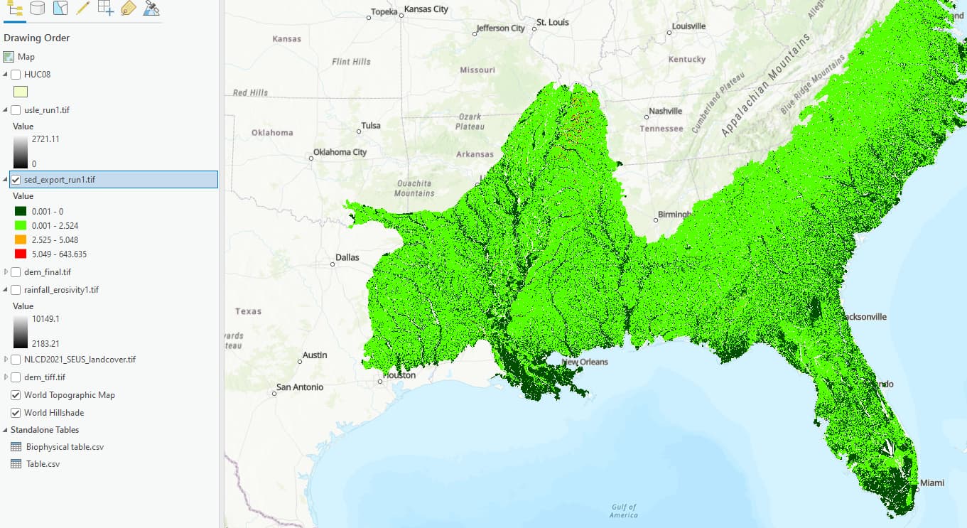
I have run the model with global soil data and here is the result for US Southeast. Can you please take a quick look at this map and tell if this values make sense for you?