Habitat Quality Model Results Show Missing Edges (NoData) Around Border in InVEST 3.12.0
Description:
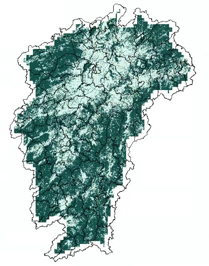
I’m experiencing an issue with the Habitat Quality model in InVEST 3.12.0 where the output raster has NoData values around all four edges, causing misalignment with my study area boundary. Despite applying a 5km buffer to all input data, the results still show incomplete coverage.
1. Problem Details
-
Software: InVEST 3.12.0 (Standalone installer)
-
Operating System: Windows 10/11
-
Issue: Output habitat quality raster has NoData border around edges
-
Expected: Complete raster coverage matching study area extent
2. Model Configuration
A. Threat Data Table (threats.csv):
csv
THREAT,MAX_DIST,WEIGHT,DECAY,CUR_PATH
gd,2,0.6,exponential,F:/ThreatSourceOutput20/gd_c.tif
jsyd,5,1,linear,F:/ThreatSourceOutput20/jsyd_c.tif
wlyd,1,0.8,exponential,F:/ThreatSourceOutput20/wlyd_c.tif